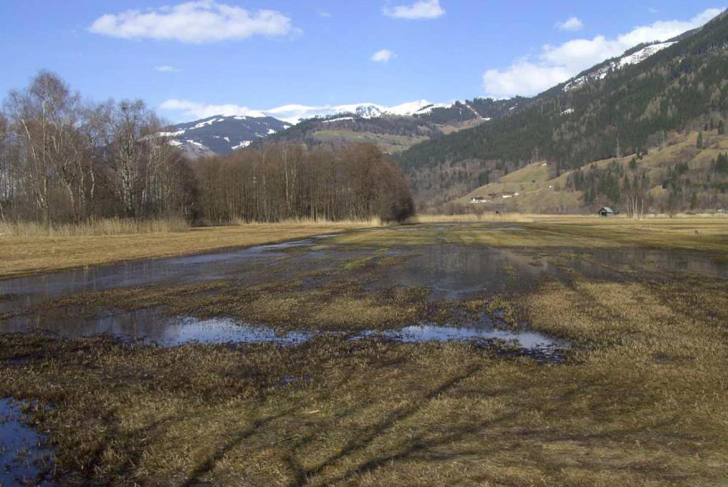
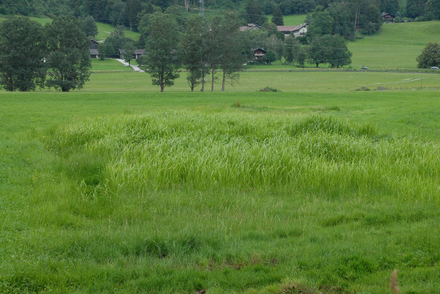
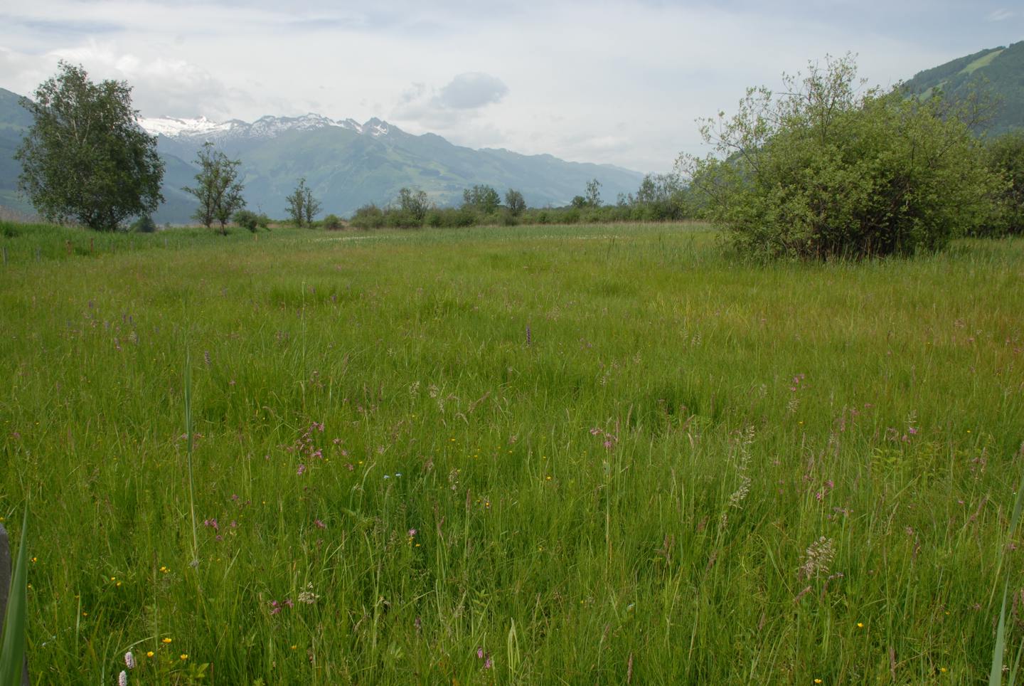
Drained and extensively used
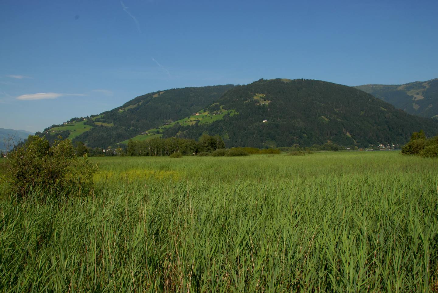
Litter Meadows
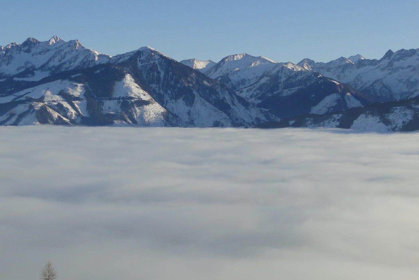
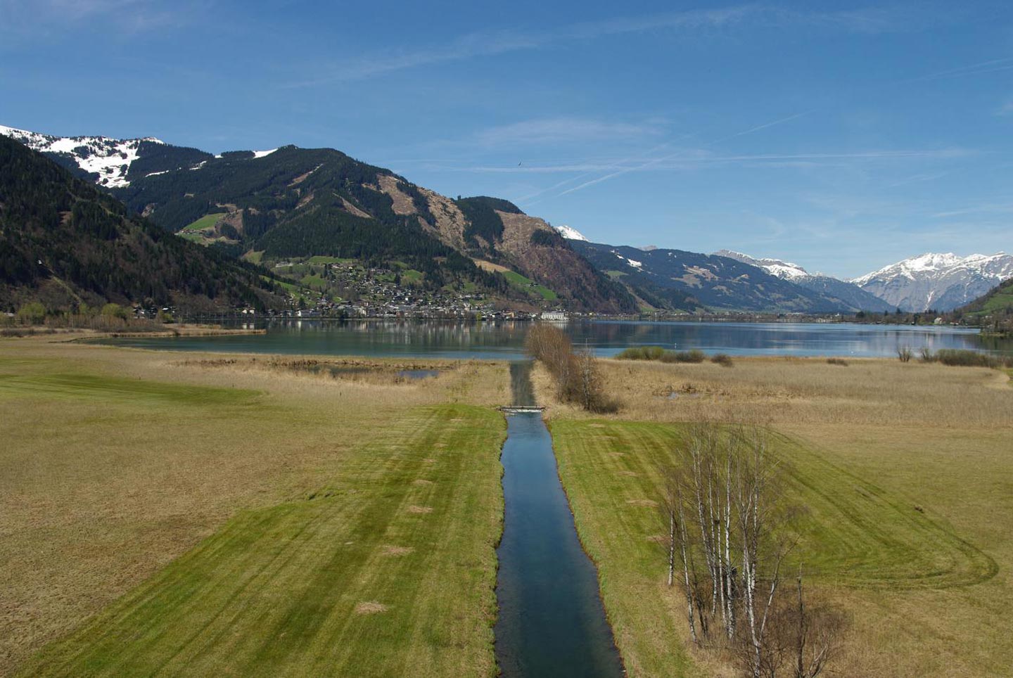
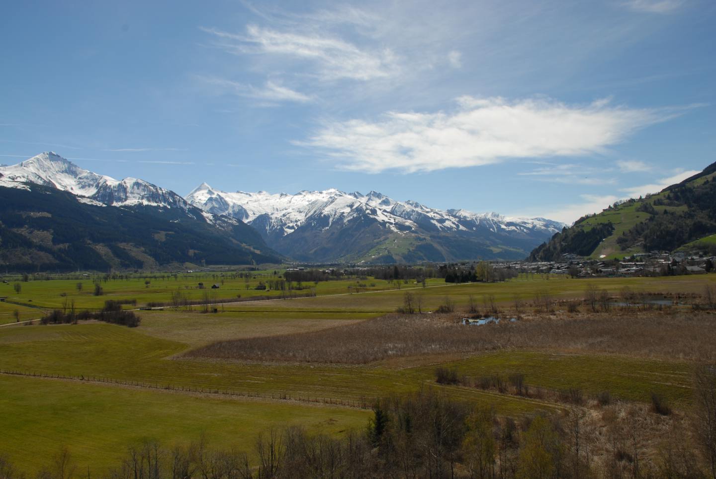
A huge primordial lake got silted up and changed into litter meadows, used by the citizens of Zell am See.
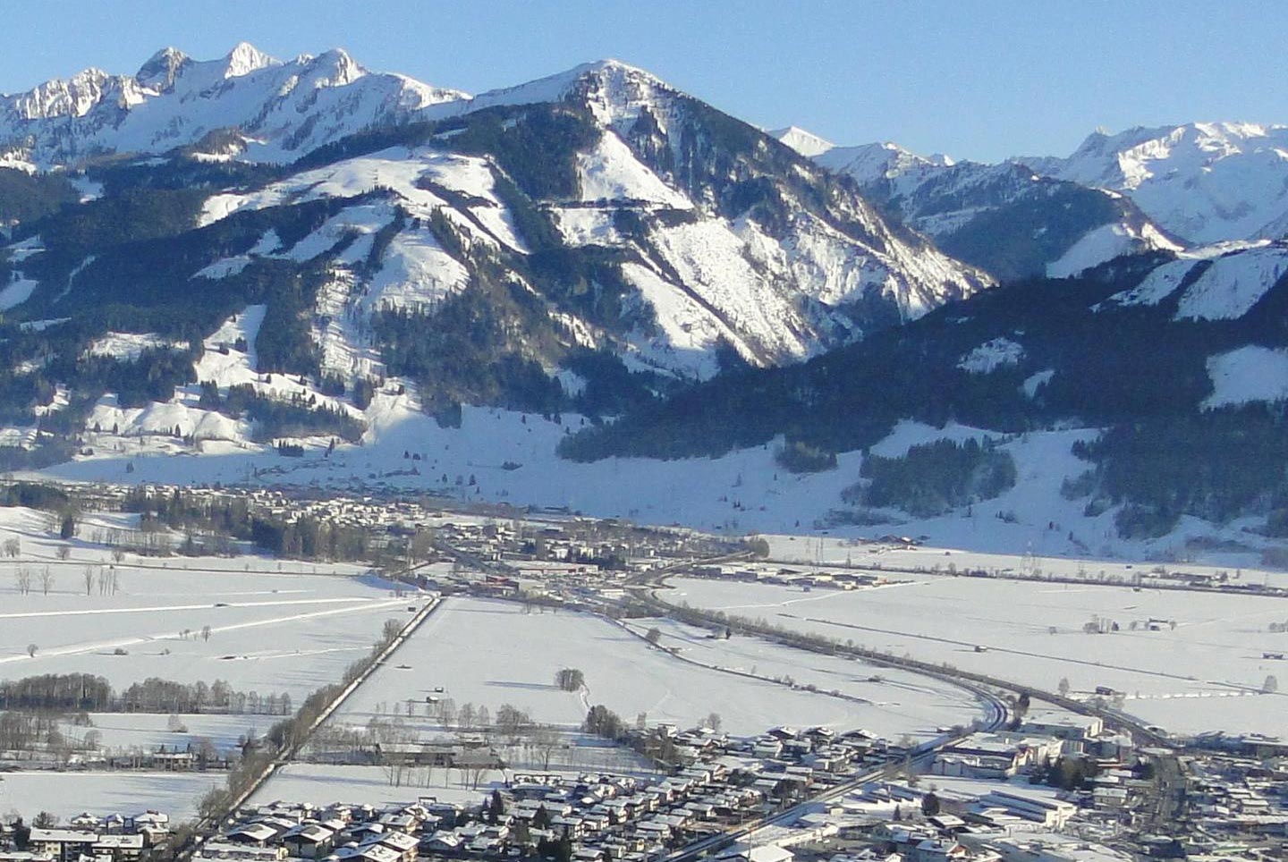
With the retreat of the Salzach glacier after the last ice age, a huge lake was left (17,000 years ago) reaching from Saalfelden in the north to Bruck and Piesendorf in the south. The water level dropped and the river Salzach was cut off. The river brought stones and sediments while periodically flooding into the lake. So by and by, the south part of the lake turned into a shallow basin with reeds and moor.
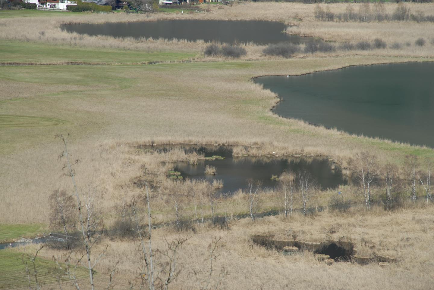
Until the late 16th century many tributaries of the Salzach were flowing in and out of the Lake Zell. The region between the Salzach and the lake was covered with reeds.
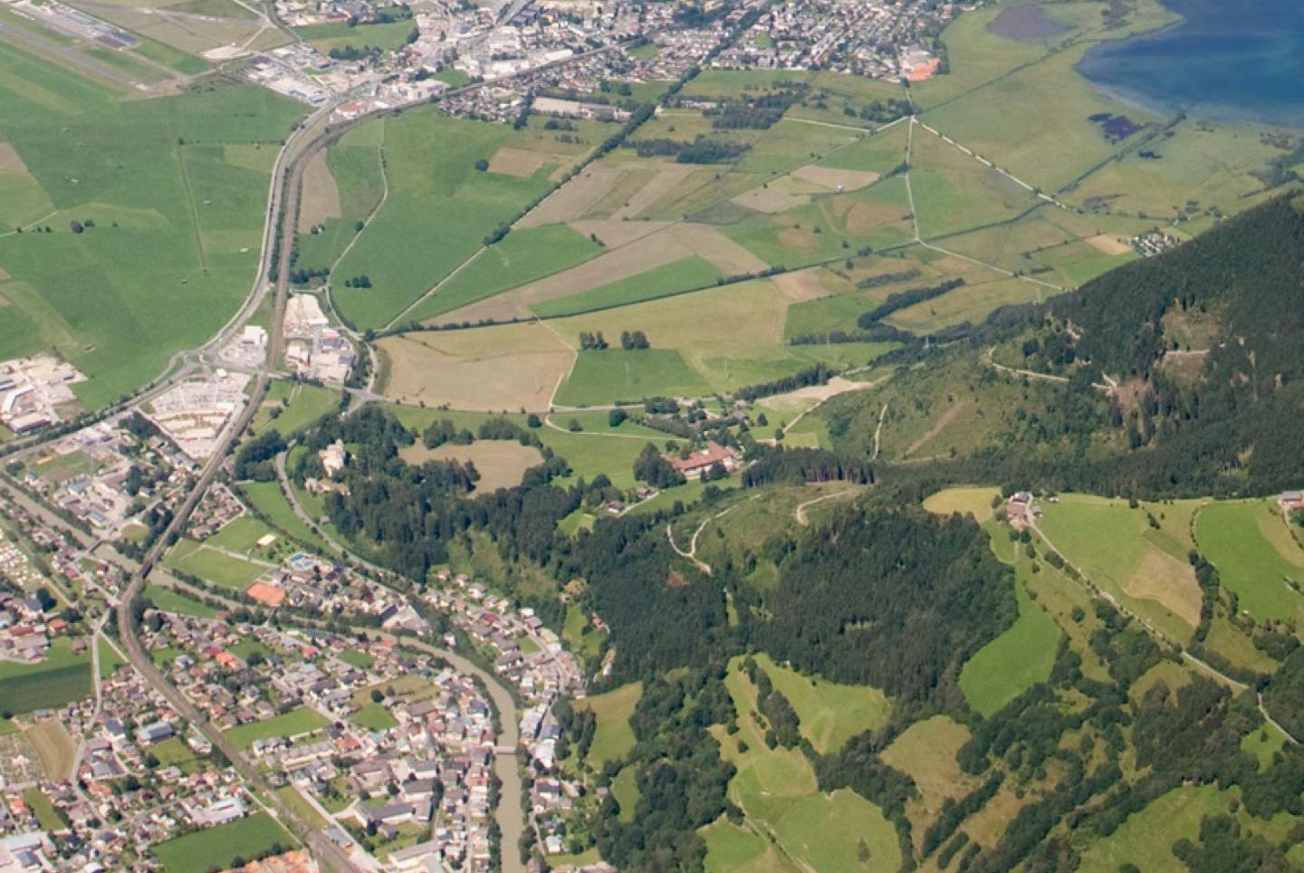
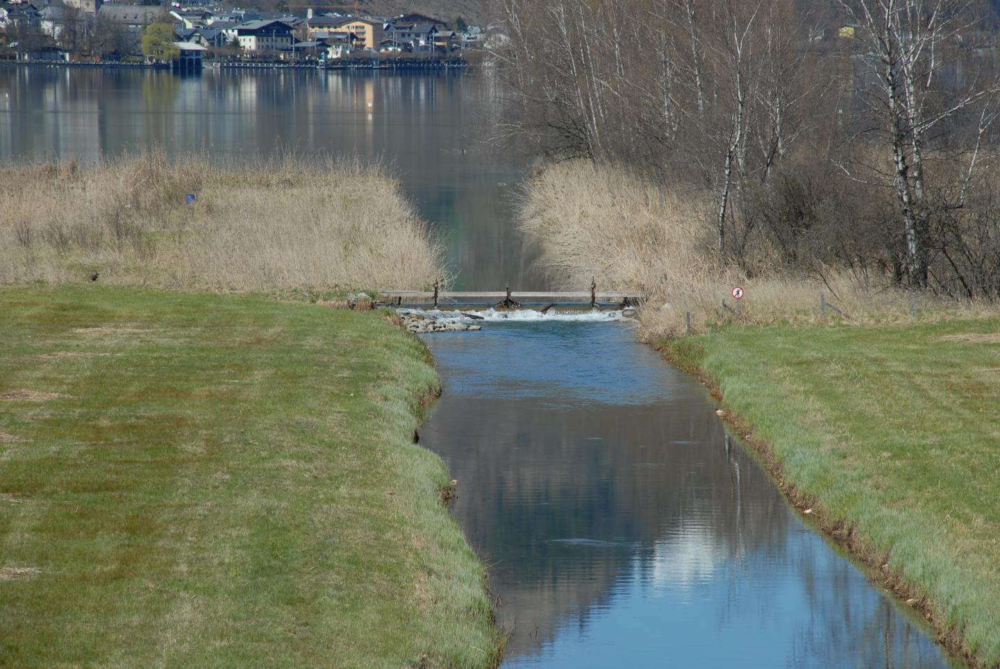
Today the river Salzach flows 2.5 km south of the Zeller See shore.
The purchase agreement of 1859 (acquisition of Lake Zell through the city Zell) describes the area at about two-thirds as "swamp with reed" and one-third as "unproductive".
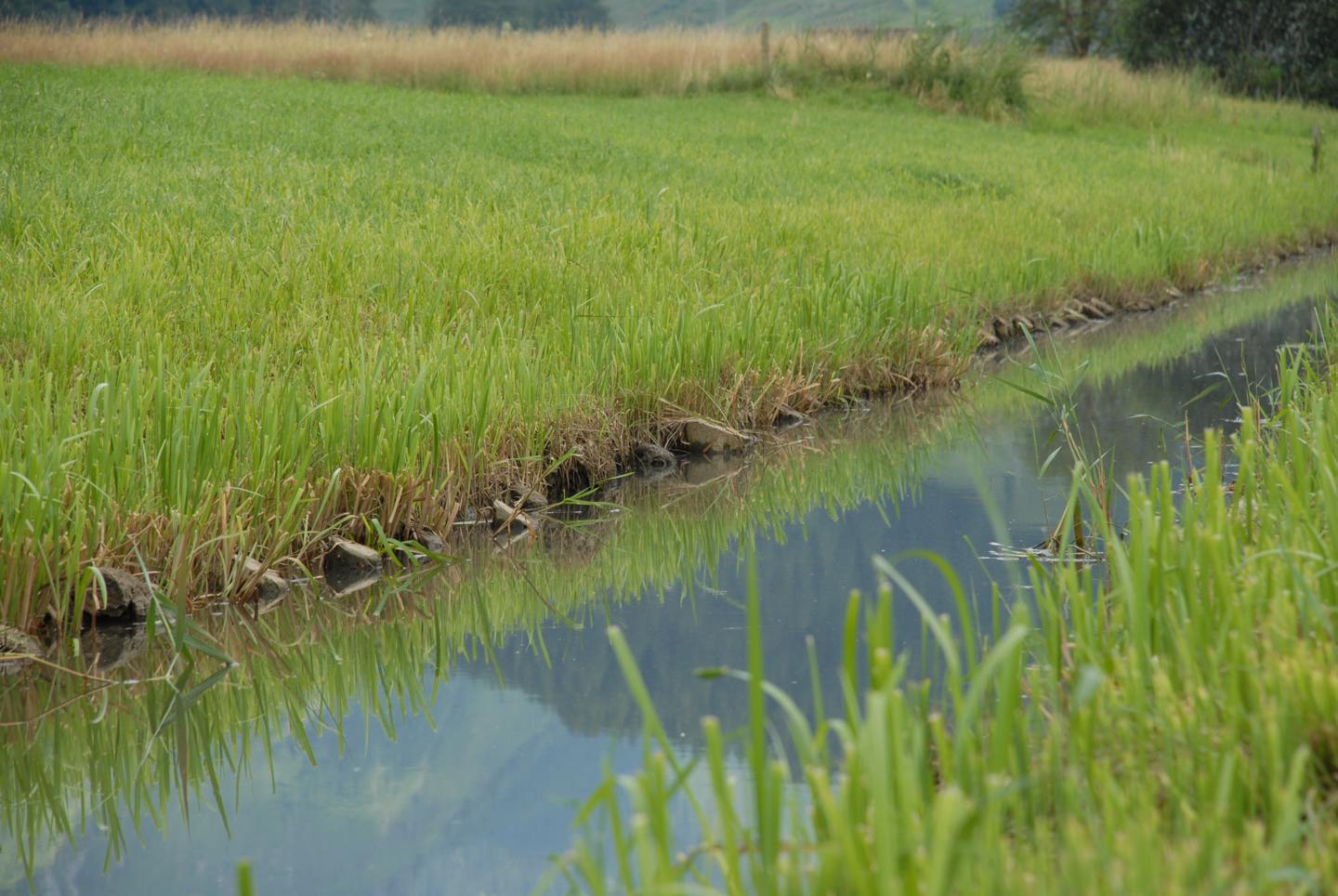
The connection was cut off from the Salzach to the lake water by regulations of the river. The shallow water areas developed into bogs siltation, while higher-lying areas became agriculturally more usable. Today dams and a pumping station regulate the lake water level and thus the water level in the reserve.
The overfalls that were built along the canals 1968 prevent decreases of lake levels under a certain brand in periods of low water. Thus the else emerging mudflats and broad river banks disappeared. Therefore, the lake has also lost its appeal for migrating shorebirds.
The settlement pressure of cell and Bruck was not without influence on the flat area. In the 1970s, meanwhile the significance of the natural space was recognized and a large part of the landscape was put under protection. However, the intensive recreational use nowadays is leaving traces as the modern form of farming does.
Our partners
Mit Unterstützung von Bund, Land und Europäischer Union